


Drones and Data: How Aerial Surveillance is Transforming Urban Planning
Introduction
The advent of drone technology has revolutionized many sectors, with urban planning standing out as one of the most transformed areas. Drones, equipped with high-resolution cameras and advanced sensors, offer unique capabilities for data collection, analysis, and surveillance in urban environments. This article explores how aerial surveillance is reshaping urban planning by allowing city planners to visualize, assess, and respond to the intricate dynamics of urban spaces more effectively than ever before.
The Rise of Drones in Urban Planning
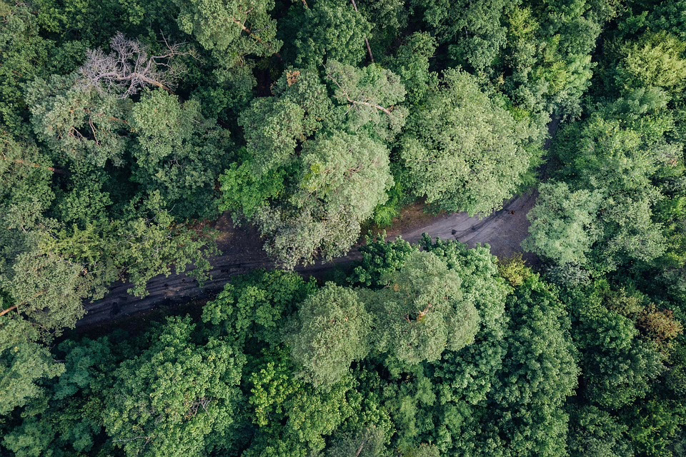
Drones, also known as Unmanned Aerial Vehicles (UAVs), have gained traction since their introduction to the commercial market in the early 2000s. Their ability to access hard-to-reach areas, capture high-resolution images, and gather real-time data has made them indispensable tools in various applications, particularly in urban planning. From mapping terrain to monitoring environmental changes, drones enable city planners to gather comprehensive datasets that facilitate informed decision-making.
Evolution of Drone Technology
Initially utilized primarily in military operations, the drone industry saw a paradigm shift with advancements in technology. The integration of GPS, advanced imaging technologies, and affordable drone models has democratized access to aerial data. This shift enabled urban planners to leverage drones for diverse applications, including infrastructure inspections, land use analysis, and community engagement.
Aerial Data Collection
Drones can cover large areas in relatively short periods, making them ideal for data collection. High-resolution imagery and LiDAR (Light Detection and Ranging) can be captured, creating detailed topographical maps. This capability permits planners to analyze vegetation cover, assess land use patterns, and identify zoning violations efficiently.
Case Study: San Francisco
A notable example of drone integration in urban planning can be observed in San Francisco, where urban planners employed drones to create detailed maps of green spaces. The high-resolution images captured by drones enabled planners to assess the health of vegetation, evaluate potential locations for new parks, and even estimate the ecological impact of proposed developments.
Enhancing Community Engagement
Engaging the community in urban planning processes is vital for creating spaces that meet the needs and desires of residents. Drones play a crucial role in this context by providing visual tools that facilitate public engagement. Aerial imagery allows residents to see potential developments from a new perspective, making it easier to understand planning proposals and provide feedback.
Visualizing Urban Changes
Using drones, urban planners can create 3D models of proposed developments, helping communities visualize changes before they happen. This immersive experience fosters better public understanding and participation in the planning process, leading to more collaborative and accepted outcomes.
Case Study: Participatory Planning in Stockholm
In Stockholm, planners have utilized drone technology to engage citizens in neighborhood planning initiatives. By providing aerial imagery and interactive models, residents can better comprehend proposed urban design changes. Feedback collected from community engagement sessions has directly influenced final plans for various developments, resulting in spaces that align more closely with community aspirations.
Monitoring and Managing Urban Environments
Drones also serve as powerful monitoring tools, allowing city planners to assess the ongoing performance of urban environments. Equipped with sensors, drones can measure air quality, traffic patterns, and even noise levels. This vital data can inform strategies for environmental management, transportation planning, and public safety.
Environmental Monitoring
Urban areas grapple with environmental challenges such as pollution, heat islands, and biodiversity loss. Drones can conduct regular aerial surveys, gathering crucial data about urban ecosystems. For instance, monitoring tree cover and the health of urban forests can guide initiatives aimed at enhancing green spaces and improving air quality.
Case Study: Pollution Monitoring in Los Angeles
The City of Los Angeles has implemented drone technology for environmental monitoring, particularly focusing on air quality assessments. Drones equipped with sensors can identify pollution hotspots, enabling the city to undertake targeted interventions aimed at reducing emissions from specific sources. This proactive approach allows for better management of urban environments and public health initiatives.
Safety and Infrastructure Inspection
The ability of drones to conduct thorough inspections of urban infrastructure without disrupting city life makes them invaluable tools for urban planning. Drones can swiftly inspect bridges, power lines, and other critical infrastructure, providing planners with essential data on maintenance and safety needs.
Case Study: Bridge Inspections in New York City
New York City has embraced drones for inspecting its extensive network of bridges. By capturing high-resolution images and videos of structural components, city engineers can identify wear and tear, enabling timely maintenance and reducing the risk of catastrophic failures.
Integrating Drones with Smart City Technology
As cities evolve into smart environments, the integration of drone technology with existing smart city infrastructures is becoming increasingly important. Drones can complement sensor networks, providing real-time data that enhances urban planning processes.
Real-Time Data Interplay
Community planners can benefit greatly from the synergy between drone data and smart city technologies. For example, drones can be deployed during major events to monitor crowds and transport patterns in real time. This data can directly inform traffic management strategies, ensuring that public transport systems remain efficient and responsive.
Case Study: Traffic Management in Barcelona
Barcelona has integrated drone technology into its smart city framework, using drones to monitor traffic congestion and vehicular movement. This approach allows city planners to make data-driven decisions about traffic light timings and public transit schedules, improving overall mobility in the city.
Challenges and Considerations
Despite the numerous benefits that drones bring to urban planning, there are challenges and ethical considerations that must be addressed. Privacy concerns, regulatory hurdles, and the potential for misuse of data are critical areas that need thoughtful policy development.
Privacy Concerns
The capacity of drones to capture high-resolution images raises significant privacy questions. Urban planners must prioritize community privacy rights and establish guidelines to protect citizens from unwarranted surveillance. It is essential to involve the community in discussions about drone use and develop clear policies that address privacy issues.
Regulatory Hurdles
Navigating the regulatory landscape of drone operation can also pose challenges for urban planners. Local and federal regulations surrounding drone flight paths, privacy, and data collection must be adhered to, which can complicate project timelines. Collaboration with regulatory agencies is essential to ensure compliant and effective use of drone technology.
Environmental Impact
While drones provide numerous benefits, their environmental impact must also be considered. The use of drones should be carefully evaluated to minimize energy consumption and potential impacts on wildlife, particularly in urban natural reserves. Sustainable drone operations should be a priority for city planners, ensuring a balanced approach to urban development.
Future Trends in Drone-assisted Urban Planning
Looking ahead, the future of urban planning is likely to be driven by further advancements in drone technology and data analytics. As the capabilities of drones continue to evolve, their integration into the urban planning fabric will deepen.
Enhanced Data Analytics
Advancements in machine learning and artificial intelligence (AI) will enable planners to analyze drone-gathered data more effectively. Predictive analytics can provide insights into urban trends, enhancing the ability to forecast and plan for future developments dynamically.
Citizen Science and Crowdsourcing
The integration of drones in participatory planning is set to grow, enabling citizen science initiatives. Communities can operate drones within designated areas to collect data relevant to local planning issues, providing valuable input and fostering active engagement in urban development.
Collaboration among Stakeholders
The future of drone technology in urban planning will require collaboration among various stakeholders, including government agencies, tech companies, and the community. By creating a collaborative ecosystem, cities can maximize the benefits of drone technology while addressing challenges collectively.
Conclusion
Drones and aerial surveillance have undeniably transformed the field of urban planning, providing planners with the data and tools needed to make informed decisions. As cities continue to evolve and face new challenges, the importance of leveraging drone technology will only grow. By enhancing data collection, fostering community engagement, and enabling dynamic monitoring of urban environments, drones represent a pivotal shift in how urban planning is approached. Ensuring ethical considerations and regulatory compliance will be essential as cities navigate the future of urban development in the age of drones.
References
- [Modern Footnote Source] Drones in Urban Planning: Innovations and Applications. Urban Studies Journal, 2022.
- [Modern Footnote Source] Redesigning Community Engagement through Drone Technology. Journal of Urban Affairs, 2023.
- [Modern Footnote Source] The Impact of Drones on Environmental Monitoring in Urban Areas. Environmental Science & Technology, 2021.
- [Modern Footnote Source] Drones and Infrastructure Inspection: A New Era of Urban Safety. Journal of Civil Engineering, 2022.
- [Modern Footnote Source] Integrating Drones into Smart City Initiatives: Opportunities and Challenges. Smart Cities Review, 2023.


Add Comment